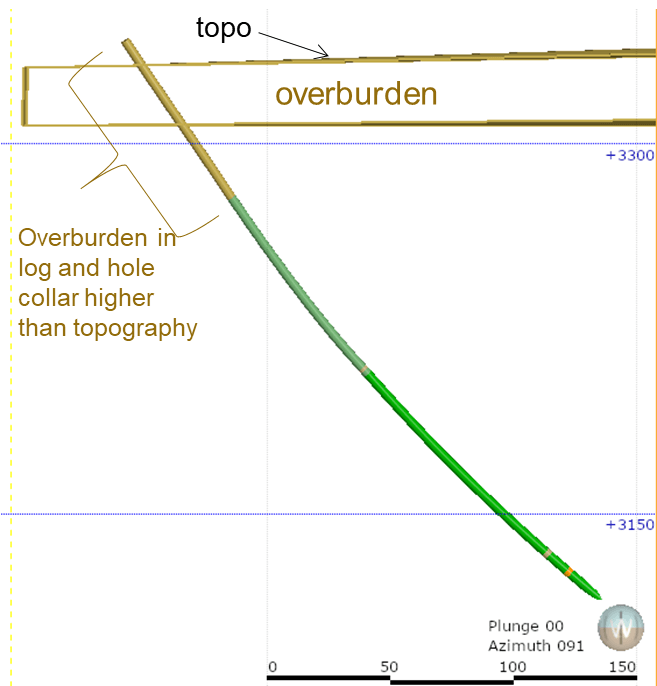
- In the case of a project that has been mined in the past, it will be essential to provide the voids (drifts, raises and stopes) and a thorough topography surface of the open pits.
- Finally, other information such as the contours of the mining titles and the hydrographic and toponymic network will also have to be delivered.
Understanding of the project
- Exploration geologists are usually the people who know the project geology best. It is therefore strongly recommended that they complete at least a few sections with their interpretation to help modelling geologists create a realistic geological model, and they need to be involved regularly in the modelling.
- For historical projects, providing historical plans and sections can save a considerable amount of time for modelling and increase model accuracy, since they take into account all the work performed by geologists who have worked on the project over time.
Conclusion
From the earliest stages of exploration and throughout the project, it is important to focus on validating and integrating the database to avoid wasting time and money. Our team of experts can support you throughout all your exploration and mining projects, from data acquisition, interpretation and modelling to estimation and optimization of resources and reserves.
If you have any questions or want to learn more about this topic, feel free to contact us.